
About
Flood risk work, without the fog
Thames Flood Risk Advisory prepares the flood risk and drainage evidence that planning applications need — for architects and developers who do this every week, and for homeowners who will do it once.
What we actually do
Planning policy asks two questions about water. Will the development be safe over its lifetime, and will it make flooding worse for anyone else? Everything we produce exists to answer one or both of those.
In practice that means flood risk assessments, flood risk emergency plans, sequential and exception test evidence, and surface water drainage strategies with sustainable drainage design. Sometimes it means telling someone their site needs none of it.
We work for whoever is making the application — the architect, the planning consultant, the developer, the builder discharging a condition, or the person building a house for themselves. The technical answer is the same in each case; the way it needs explaining is not.

How we approach it
Four things we hold to
-
If you do not need a report, we will say so
There is no shortage of consultants willing to sell a flood risk assessment to someone whose validation checklist never asked for one. Checking takes us a few minutes and costs you nothing.
-
Levels, not adjectives
A flood risk objection is answered with a design flood level, a floor level and a datum — not with reassuring language. Where the data to do that properly does not exist, we say that plainly rather than writing around the gap.
-
Written for whoever has to read it
Case officers are not hydrologists, and homeowners are not planners. Findings come first, with the method behind them. Technical terms are explained the first time they appear.
-
No promises about the outcome
Nobody can guarantee a planning permission, and an offer to do so should make you suspicious. What a good report can do is make sure flood risk is not the reason your application fails.
Where we work
The Thames, and everywhere else
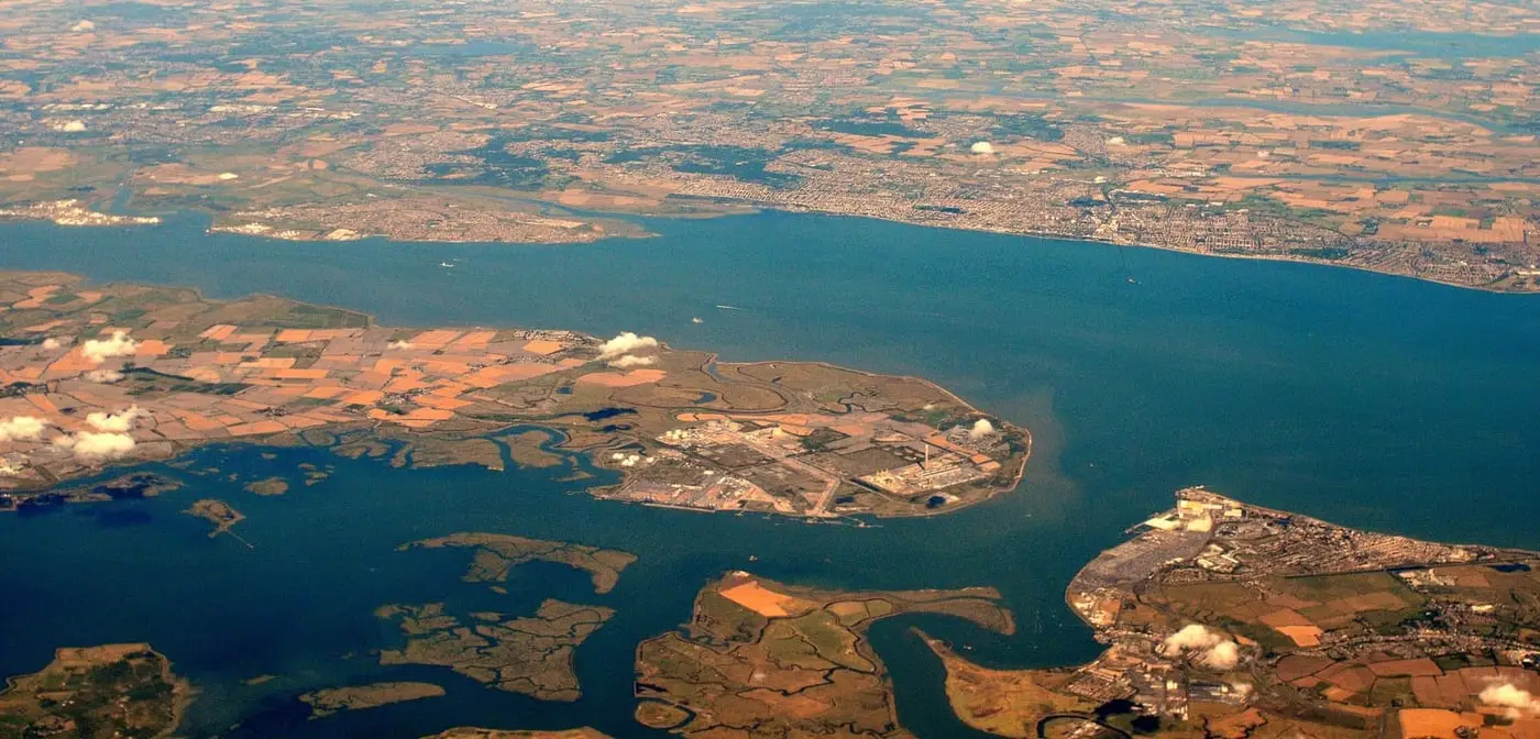
The name is not an accident. The Thames catchment is where the work is most concentrated and where knowing how a particular authority reads a report saves everybody time — the tidal river through London, the non-tidal reach through Berkshire and Oxfordshire, and the estuary out into Kent and Essex.
Flood risk assessment is a national methodology, though, and we take work on across England and Wales. Where a site is in Wales the equivalent document is a Flood Consequence Assessment and the policy tests differ, so it is worth telling us the location at the outset.
- Greater London
- Thames Valley & Berkshire
- Oxfordshire & Buckinghamshire
- Surrey & North Hampshire
- Thames Estuary & Gateway
- Kent & Essex riverside
- and nationwide
Not sure what your application needs?
Send us the site address and a line about what you are proposing. We will tell you which reports the authority is likely to ask for, and what they will cost — usually within one working day.