FRA
Flood Risk Assessment
The core planning document for any site in Flood Zone 2 or 3, over one hectare, or at risk from surface water.

Flood risk & drainage consultancy
We prepare the flood risk assessments, drainage strategies and supporting evidence that planning officers, the Environment Agency and lead local flood authorities expect to see — set out clearly enough that they can find what they need first time.
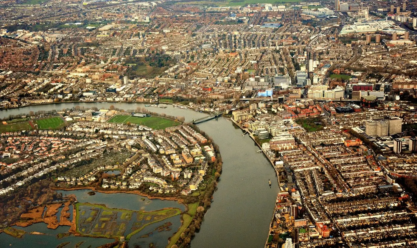
Rooted in the Thames — London, the Thames Valley and the estuary. Working nationwide.
Fluvial, tidal, surface water, groundwater, sewer and reservoir risk are each addressed, because that is what the checklist asks for.
We request Environment Agency modelled levels for the site rather than reading a number off the public flood map.
Findings first, method behind it. A planner should not have to be a hydrologist to follow the argument.
What we do
Most schemes need one or two of these. If you are not sure which, send us the postcode and we will tell you.
The core planning document for any site in Flood Zone 2 or 3, over one hectare, or at risk from surface water.
A practical evacuation and flood response plan for occupants, usually required by condition where access floods.
The policy case for building here rather than somewhere drier — and, where required, the case for an exception.
Surface water drainage design and a SuDS strategy that satisfies the Lead Local Flood Authority.
The core question
Nearly every flood risk objection comes down to those two points. A good assessment answers them with levels rather than adjectives.
That means establishing the design flood level for the site, setting finished floor levels above it with freeboard, showing that anyone inside can get out safely, and demonstrating that the development does not take storage away from the floodplain or push water onto a neighbour.
Where the numbers are tight, we would rather tell you early than write around it.
Who we work with
A self-builder and a housebuilder need the same technical answer. They rarely need it explained the same way.
How it works
We quote a fixed fee before starting. If the scope changes because the authority asks for something new, we tell you what it costs before we do it.
Send the address or postcode, a sketch or drawing if you have one, and what you are hoping to build. We check the flood zone, the mapped surface water risk and what the local authority normally asks for on sites like yours.
No charge, and no obligation. If you do not need a report, we will say so.
You get a written proposal setting out exactly which documents we will produce, what sits inside each one, what we need from you, and what it costs. If Environment Agency modelled data has to be requested, we tell you how that affects the timetable before you commit.
We gather the data, run the assessment and write the report — then send it to you in draft. You see it before your planning authority does, so anything that has changed on the drawings can be picked up while it is still easy to change.
The final report is issued in a form you can submit straight to the portal. If the case officer, the Environment Agency or the lead local flood authority comes back with questions, we answer them.
Agree at proposal stage what is covered, so there is no argument about it later.
Where we work
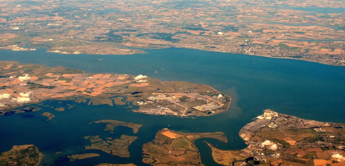
The tidal reach through London, the non-tidal river through Berkshire and Oxfordshire, the estuary out into Kent and Essex — and the ordinary watercourses and surface water flow paths that cause most of the trouble in between.
The method does not change with the county. We take work on across England and Wales, and the flood zone your site sits in matters a great deal more than the distance from our desk.
Common questions
Usually yes if any part of the site is in Flood Zone 2 or 3, if the site is larger than one hectare, if it sits in an area the council has identified as having critical drainage problems, or if the mapping shows a risk from surface water, groundwater or the sewer network. Your local authority validation checklist is the definitive answer, and it varies between authorities. Send us the postcode and we will check it before you spend anything.
Not automatically. Flood Zone 1 only describes the risk from rivers and the sea. Surface water flooding causes a large share of the problems we see, and it is not shown on the flood zone map at all. Sites over one hectare in Flood Zone 1 still need an assessment, and many authorities ask for a drainage strategy regardless of zone.
The part we control is quick. The part we do not is the data: where a report needs modelled flood levels from the Environment Agency, their data request runs to its own timetable, and that usually sets the date. We tell you the realistic delivery date in the proposal rather than after you have paid. If you are working to a submission deadline, say so in your first email and we will tell you honestly whether it is achievable.
We quote a fixed fee for each project rather than publishing a rate, because the work varies so much. The things that move the price are the flood zone, whether modelled data already exists for that reach of river, how many separate documents the authority wants, and whether a sequential test is needed. You get the figure before any work starts.
No — and it is worth being wary of anyone who says otherwise. The decision belongs to the planning authority and it weighs far more than flood risk. What a good report does is make sure flood risk is not the reason for a refusal: the right data, the tests the officer actually has to apply, and the residual risk dealt with rather than glossed over.
Send us the site address and a line about what you are proposing. We will tell you which reports the authority is likely to ask for, and what they will cost — usually within one working day.